
2016年12月7日 星期一

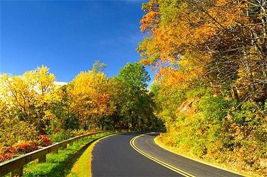
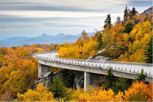
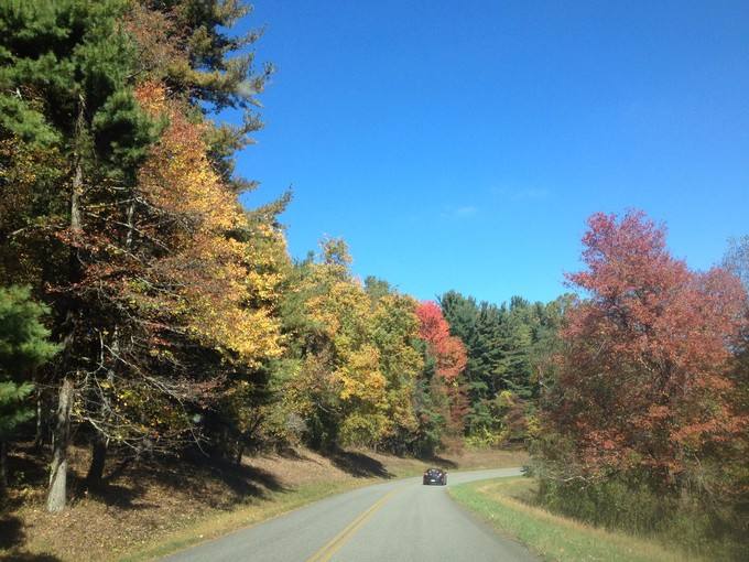
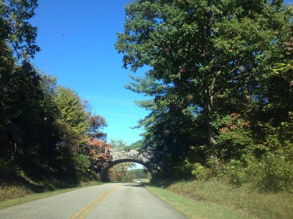
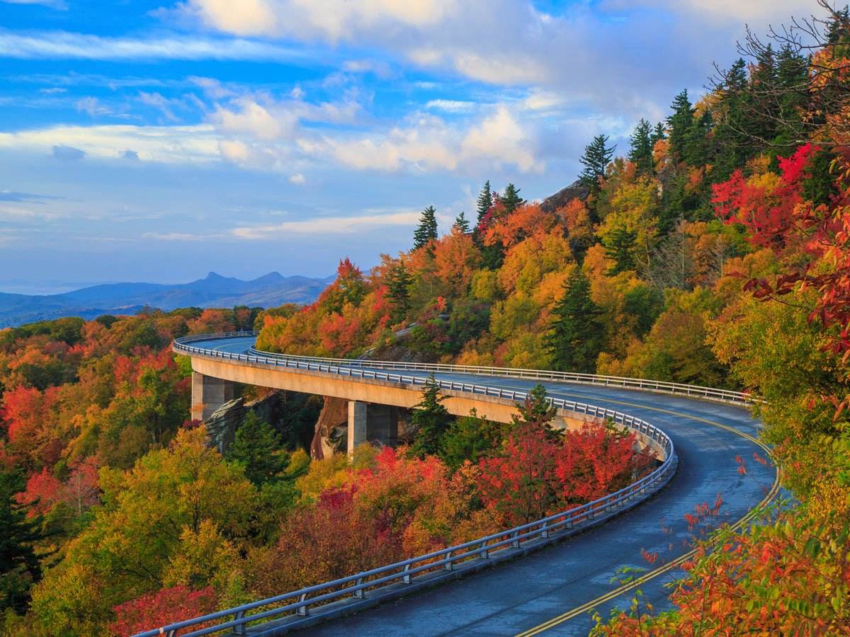
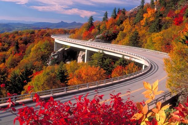
The Blue Ridge Parkway is a 469-mile moving postcard that unfolds meadows, forests and seemingly endless mountain views into one long masterpiece. It’s one of America’s most beautiful scenic routes, running north from just outside the Great Smoky Mountains National Park, across the North Carolina border and through the Blue Ridge Mountains, and connecting up with Shenandoah National Park’s Skyline Drive at Waynesboro.
Virginia’s 217-mile section, especially the 114 miles from Waynesboro to Roanoke, is the most delightful part, lined with national forests and mountaintop views that are nothing short of sublime.
Heading south from Shenandoah National Park, the Humpback Rocks Visitor Center offers a self-guided trail through a reconstructed 19th-century farmstead, and a steep one-mile trail to the top of Humpback Rocks, with its stunning 360-degree view of the mountains. Shortly after it hits its lowest point (649 feet) crossing the James River, the Parkway climbs to its highest point in Virginia (3,950 feet), just before the Peaks of Otter at milepost 86. Here you’ll find another Visitor Centre and the year-round Peaks of Otter Lodge, overlooking Abbott Lake. Trails lead to a 1930s farm and the pinnacle of Sharp Top (3,875 feet). South of Roanoke is Mabry Mill, one of the most popular and most photographed stops on the Parkway. The early 20th-century mill still offers fresh-ground cornmeal and flour for sale. The Château Morrisette Winery has been making wine here since 1980, and their ‘Our Dog Blue’, a semi-sweet mix of Riesling and Vidal, is one of the state’s most popular wines. An excellent restaurant serves regional dishes such as catfish and shrimp and grits, on the patio with sweeping views.
地址:
电话:


Copyright@since2016 chinesenewsusa.com All Rights Reserved


